Early Storm History
Hint:
You're gonna hafta hit the back button on the browser to return to this page if some of the following links are clicked.
The first storm producing measurable snow was on September 24.
I went for a walk up Mill B South finding
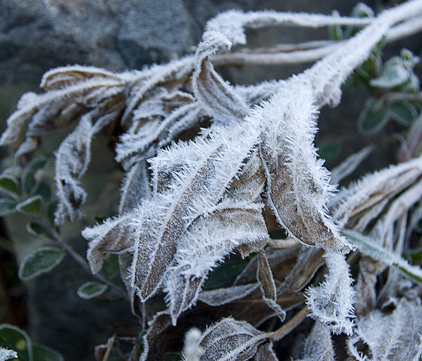
hoar frost in the morning. More photos found here.
The second storm, also in September, was on the 29th, adding a few more inches to the lingering remnants.
A panorama of upper Cardiff.
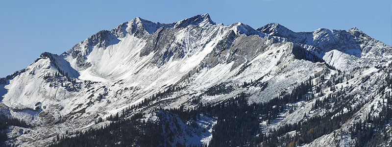
Walked up Mill D North fork, climbing Reynolds to get the photo. Autumn leaf photos etc are found here. That storm initiated the accumulation of snow likely to linger till spring melt off.
Yet another storm began October 6. Up Cardiff to the pass,
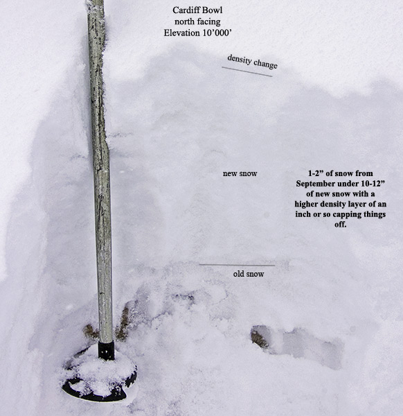
for a look see, digging the first snow pit. Coupla photos here.
Storm continued on the 7th, producing enough to begin travel using ski equipment.
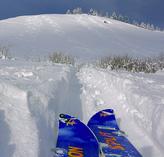
Lacking much in the way of old layering, bonding was good at Alta.
A liitle storm on October 13th producing around 5". Curious, I returned to Cardiff, finding a slide in the upper bowl.
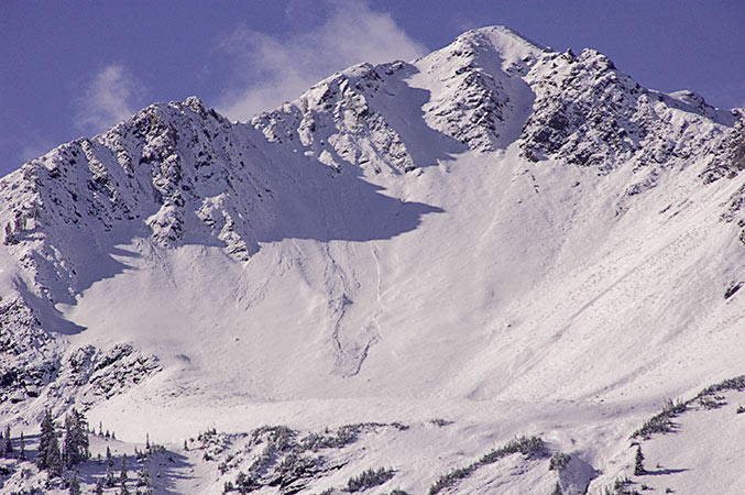
A snow pit just below the chutes
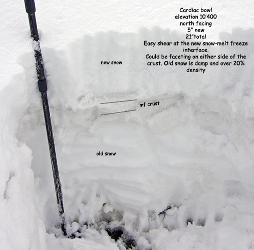
shows a melt freeze crust, possibly sandwiched by facets, now capping older snow layers. A few more photos including the shear test here.
A brief reprieve followed by a larger storm, beginning on the 17th. Back to Alta, walking up the Sugarloaf side,
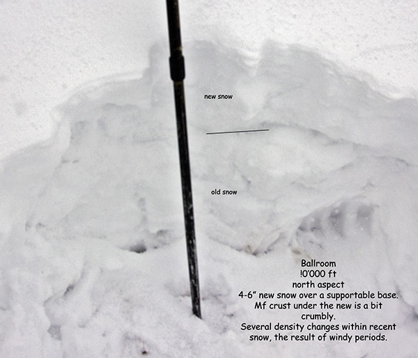
stopping for a quick pit in Ballroom and descending Collins.
My evaluation:
Most areas below 9'500' were lacking snow, except where shaded or skier compacted prior to the storm, limiting currently available ski terrain.
Concerns would be added weight on pre existing firm surfaces and density changes within the new snow, stepping down to that layering.
Increased potential for long running slides in steep upper elevation shady areas retaining old snow, especially those with wind drifting..
Another return to Cardiff, able to skin from Reynolds flat to the summit of Superior. There was some localized drifting and wind rippling in the upper bowl, however no slab was forming. Others on the shoulder of Baldy weren't so lucky, triggering a good sized slide, running on the old firm mf crust.
The weather suggests:
Tonight: A 40 percent chance of showers after midnight. Mostly cloudy, with a low around 34. Windy, with a southwest wind between 29 and 31 mph, with gusts as high as 45 mph.
Saturday: Periods of snow showers. High near 39. Breezy, with a west wind 26 to 29 mph decreasing to between 17 and 20 mph. Winds could gust as high as 43 mph. Chance of precipitation is 80%.
A casual approach:
La Niña? 07-08 Wasatch Snow Conditions
is often worth scanning.
© wowasatch.com